Overview
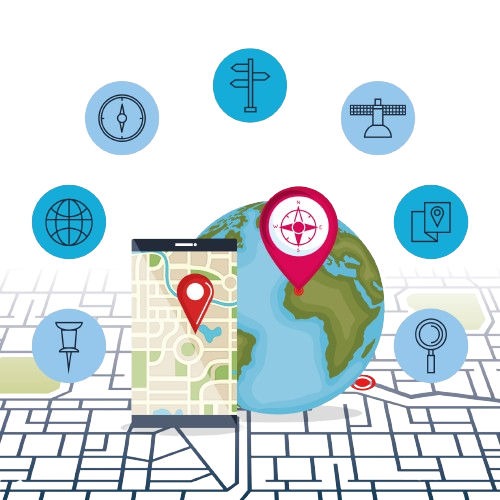
At Pixpoint Technology, we provide cutting-edge GIS (Geographic Information System) and Remote Sensing services, helping organizations harness the full potential of geospatial data. Whether you need detailed land analysis, environmental monitoring, or urban planning solutions, our expert team is here to transform raw data into actionable insights.
GIS Mapping and Analysis
We specialize in creating high-resolution maps that provide detailed spatial analysis. Our GIS mapping services offer:
• Land use and land cover mapping
• Infrastructure and utility mapping
• Geospatial database management
• Risk and vulnerability assessment
3D Terrain Modeling
Using advanced geospatial tools, we create accurate 3D models for terrain visualization, which are critical for:
• Hydrological studies
• Urban development
• Mining and geology
• Disaster management
Remote Sensing Applications
Our Remote Sensing technology leverages satellite imagery and aerial data to capture information about the Earth's surface. We offer:
• Satellite imagery interpretation
• Change detection and time-series analysis
• Crop and vegetation monitoring
• Environmental impact studies
Customized GIS Applications
We develop custom GIS solutions tailored to your industry needs. From web-based GIS applications to mobile geospatial solutions, our tools are designed to improve decision-making and operational efficiency. Industries We Serve
• Agriculture
• Urban Planning and Development
• Natural Resource Management
• Environmental Monitoring
• Transportation and Infrastructure
• Disaster Management
Ready to Unlock the Power of Geospatial Data?
Whether you’re planning urban developments, monitoring environmental changes, or analyzing land use, our GIS and Remote Sensing Services provide the insights you need to make informed decisions. Let us help you turn complex spatial data into actionable solutions.
Why Choose Us
Our Approach:
Expert Team
Our team consists of skilled GIS specialists, data analysts, and software developers.
Cutting-Edge Technology
We use the latest software and tools for precise data capture and analysis.
Tailored Solutions
We offer personalized GIS and Remote Sensing solutions for businesses of all sizes.

